| Location: | Ashcombs, Calvert County, MD, United States |
|---|---|
| Occupation Dates: | Early 18th century. Phasing and mean ceramic dates can be found on the Chronology page. |
| Excavator(s): | Jefferson Paterson Park and Museum (Phase I), Kemron, Inc. (Phase II), and John Milner Associates (Phase III). |
| Dates excavated: | 1994, 1996, and 1997-1998. |

Overview
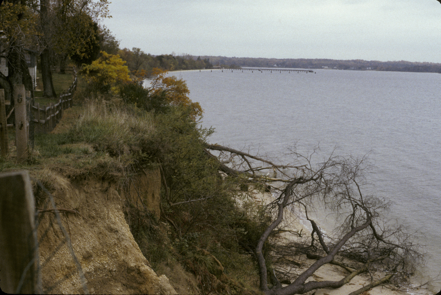
View from bluff, looking west. The Patuxent River is on the right and the modern fence marking the northern limits of the site is visible on the left.
Ashcomb’s Quarter is located on a bluff twenty feet above the Patuxent River in Calvert County, Maryland. The site is part of the Solomons Naval Recreation Center (SNRC). There are archeological remains representing an early eighteenth-century occupation as well as a prehistoric period occupation (Catts et al. 1999:1, 169, 177, 209).
Ashcomb’s Quarter was identified in 1994 during a Phase I survey of the SNRC. A Phase II survey was conducted in 1996, which confirmed a colonial period occupation as well as a prehistoric component. The site was determined to be eligible for nomination to the National Register of Historic Places. Phase III excavation of 18CV362 was conducted in compliance with Section 106 in advance of Naval plans to stabilize the riverbank (Catts et al. 1999:1, 39).
Documentary evidence
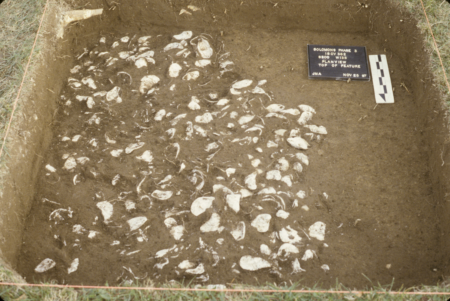
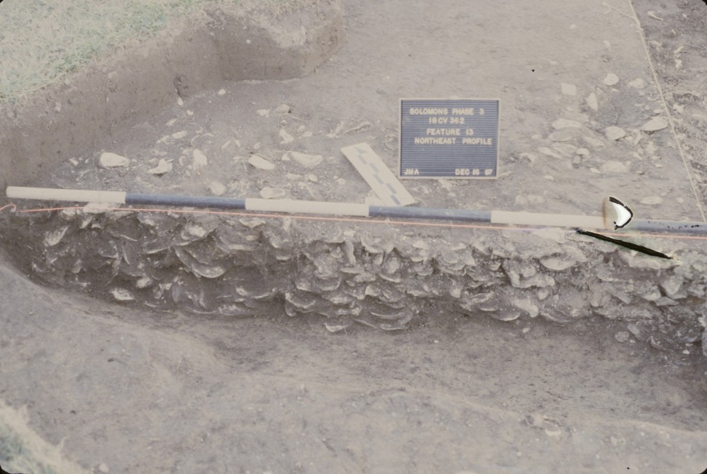
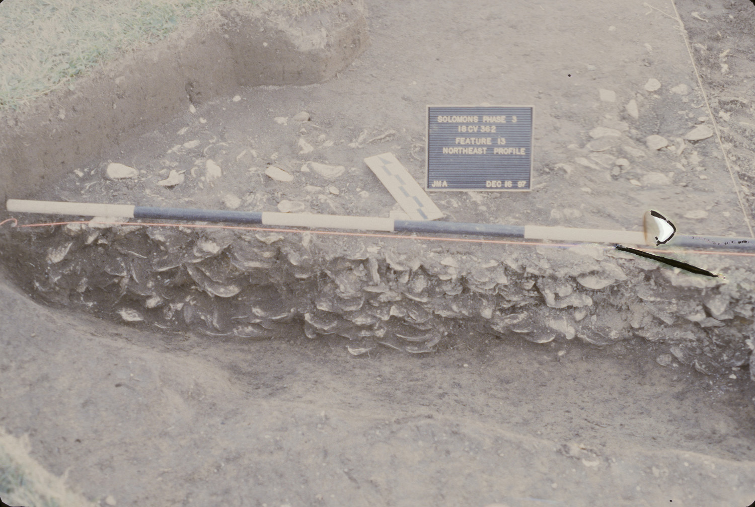
Plan view of historic shell midden (Features 13 and 14) in Area C, next to the river.
Ashcomb’s Quarter was part of a seventy-five acre parcel patented in 1651 and called Compton. By 1684, the property was owned by John Ashcomb and remained in his family until 1745, when Daniel Rawlings purchased a tract of land that included 18CV362 (Catts et al. 1999:57-59).
The Compton parcel, as well as neighboring tracts, were highly cultivated and remained so until twentieth century. The first half of the twentieth century show a commercial use of the area in and around 18CV362 (Catts et al. 1999:59).
The United States Navy purchased the property at the start of the Second World War and owns the property today (Catts et al. 1999:59).
Excavation history, procedure, and methods
Ashcomb’s Quarter was discovered during a systematic shovel test survey of the SNRC. Shovel test pits were laid out at 25-foot intervals. Plowzone soils were identified in the eastern and central portions of the site,while a ravine occupied the western portion (Catts et al. 1999:39).
A Phase II survey was conducted in 1996 and consisted of ten 5-x-5 foot units. A prehistoric component was identified beneath the buried soils of the ravine. The test unit, where the prehistoric component was located, was re-excavated during the Phase III. The profile was re-mapped and the unit was excavated further. Additional excavation led to the discovery of a prehistoric feature containing human remains. The discovery of a human mandible as well as other remains led to a cessation of excavation at 18CV362 (Catts et al. 1999:39, 67, 182).
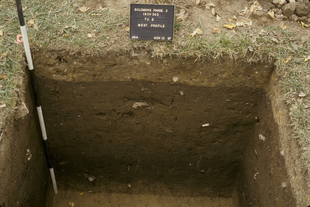
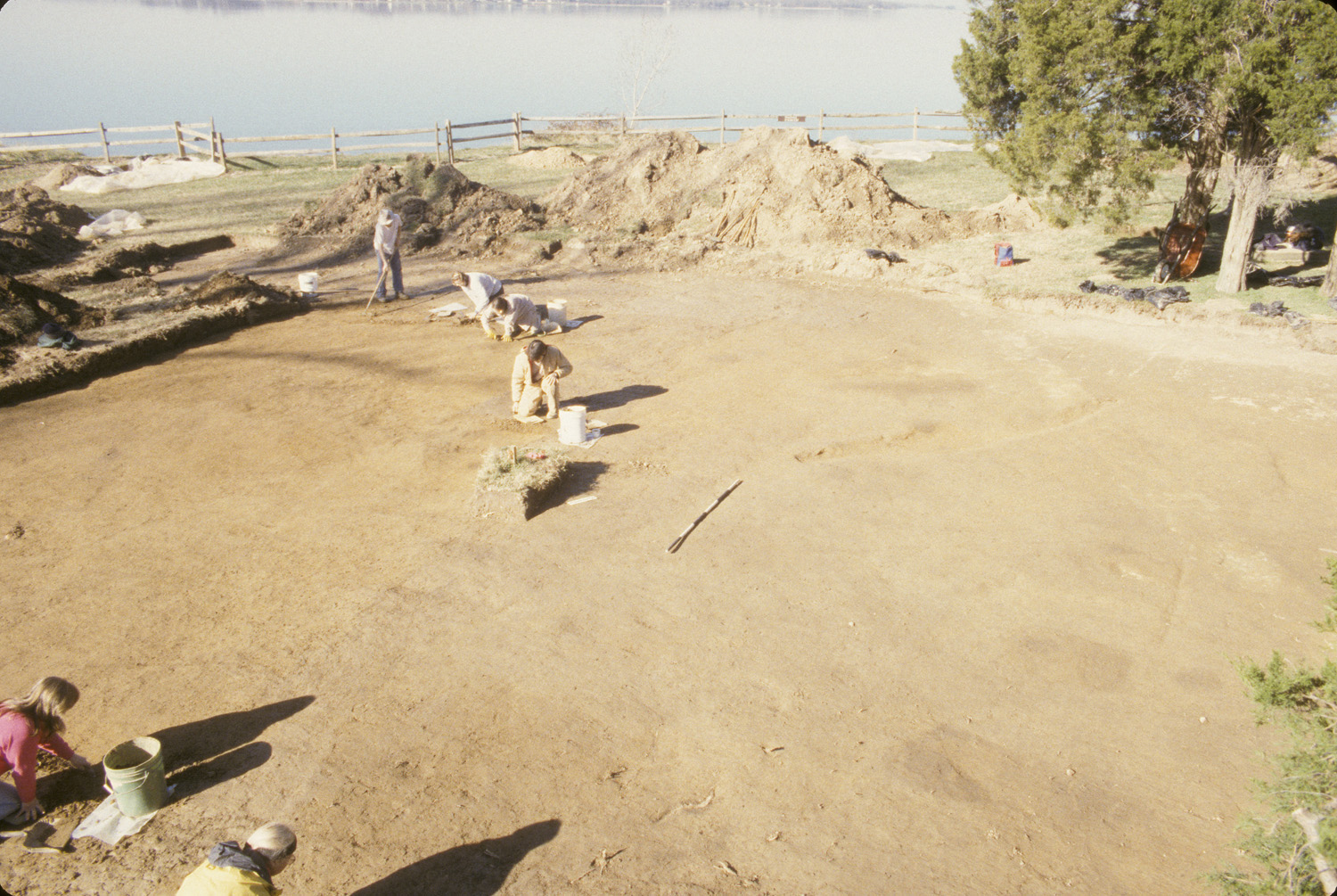
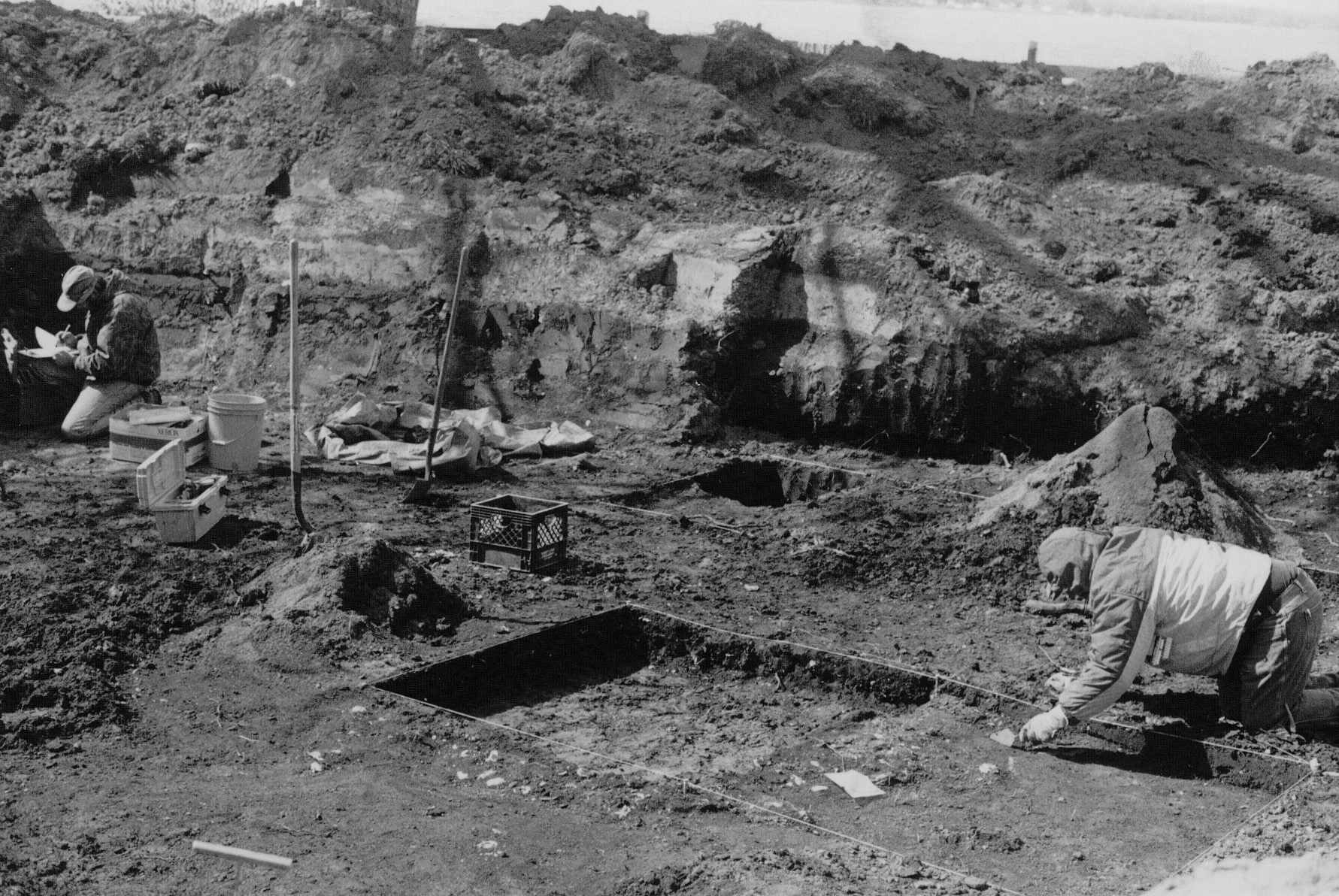
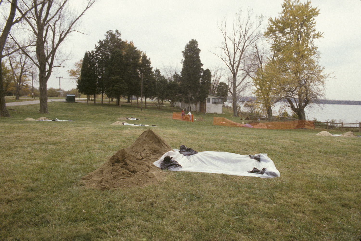
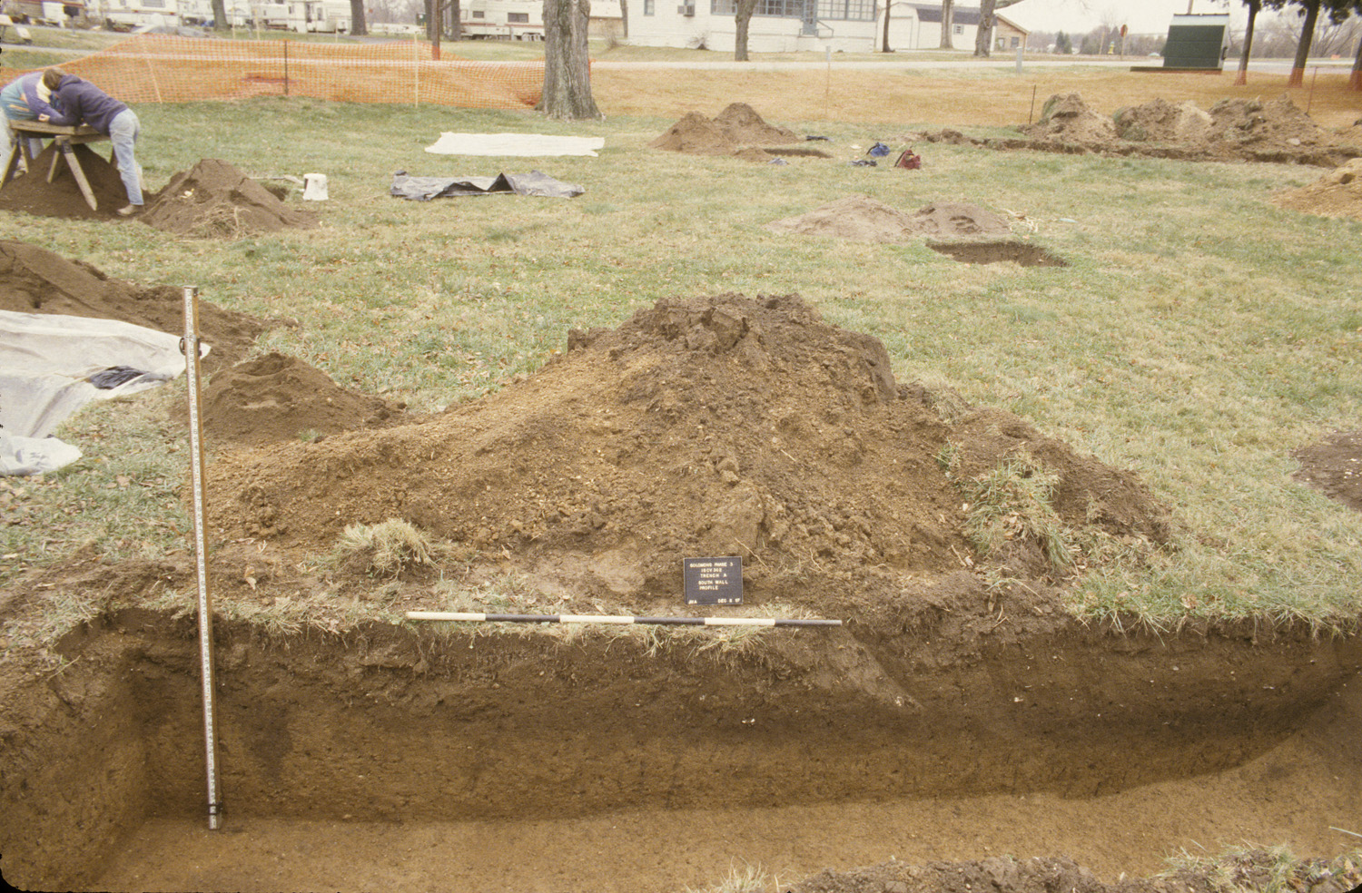
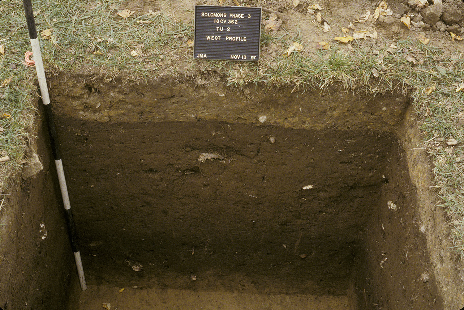
The Phase III survey of 18CV362 consisted of thirty-five 5-x-5 foot units as well as two test trenches. The squares were excavated by hand and screened through ¼-inch hardware cloth. Following the excavation of the plowzone units, four areas were mechanically stripped by a gradall; three to look for historic features and one for prehistoric (Catts et al. 1999:43).
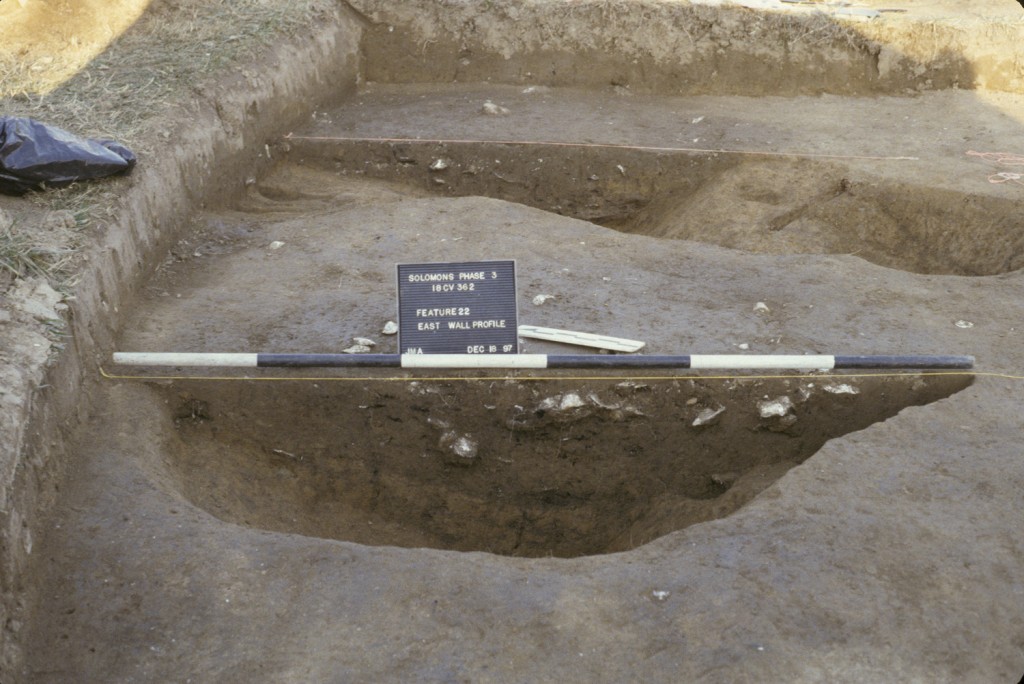
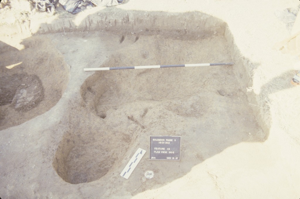
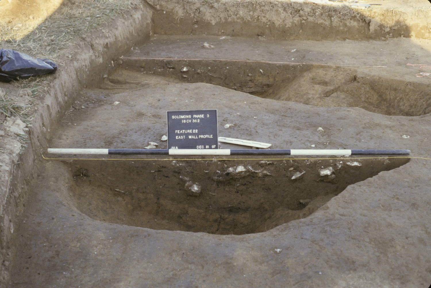
Of sixty-seven features identified and mapped, thirty-six were excavated. Three post-in-ground structures, two trash pits, and a large, historic shell midden were identified (Catts et al. 1999:67).
Summary of research and analysis
Due to the lack of subfloor pits within the post-in-ground structures, all of them are interpreted as outbuildings. It is possible that the dwelling for 18CV362 was located near the shell midden but has since eroded into the Patuxent River (Catts et al. 1999:209).
Based on the artifact assemblage, it isn’t clear whether 18CV362 was occupied by enslaved Africans, indentured servants, or a combination. What is clear is that the posts for the buildings were not repaired, suggesting a relatively short site occupation (Catts el al. 1999:209).
The prehistoric component of 18CV362 shows evidence of occupation dating from the Late Archaic up to the Contact period (Catts el al. 1999:209-210).
Jesse Sawyer
Digital Archaeological Archive of Comparative Slavery
October 2006
Things you need to know about Ashcomb’s Quarter (18CV362) before you use the data:
- Measurements are in feet and tenths of feet.
- 100% of the plowzone was screened through 1/4-inch mesh.
Feature Numbers
The original excavators of Ashcomb’s Quarter (18CV362) assigned numbers to individual features. Excavated contexts belonging to the same depositional basin (e.g. a posthole and postmold) were assigned separate feature numbers such that a postmold was given a feature number and the posthole containing that postmold was given a different feature number. Since DAACS defines features as either excavated contexts that belong to the same depositional basin (e.g. a posthole and postmold or the layers in a single pit) or as single contexts that the excavators recognized as spatially distinct from surrounding contexts, DAACS treated some feature numbers like contexts and combined them into a single feature number. For example, Feature 18 (postmold) and Feature 19 (posthole containing Feature 18) were both assigned to Feature 19, with Feature 18 becoming a context within F19. Feature 66 (postmold) was contained within Feature 37 (posthole) therefore Feature 66 became a context within F37. All Feature Numbers have a F-prefix, which precedes the number (i.e. F01 equals Feature 1).
Feature Groups
Feature groups are sets of features whose spatial arrangements indicate they were part of a single structure (e.g. structural postholes, subfloor pits, and hearth) or landscape element (e.g. postholes that comprise a fenceline). Feature Groups assigned by DAACS have a FG-prefix, which precedes the number (i.e. FG01 equals Feature Group 1).
| Feature | Feature Type | Contexts |
|---|---|---|
| F19 | Posthole | F18, F19 |
| F21 | Posthole | F20, F21 |
| F28 | Posthole | F27, F28 |
| F30 | Posthole | F29, F30 |
| F32 | Posthole | F31, F32 |
| F34 | Posthole | F33, F34 |
| F36 | Posthole | F35, F36 |
| F37 | Posthole | F37, F66 |
| Feature | Feature Type | Contexts |
|---|---|---|
| F58 | Posthole | F57, F58 |
| F60 | Posthole | F59, F60 |
| F62 | Posthole | F61, F62 |
| F65 | Posthole | F64, F65 |
| Feature | Feature Type | Contexts |
|---|---|---|
| F23 | Posthole | F23, F38 |
| F40 | Posthole | F39, F40 |
| F42 | Posthole | F25, F42 |
| F44 | Posthole | F44, F45 |
| Feature | Feature Type | Contexts |
|---|---|---|
| F11 | Posthole | F10, F11 |
| F12 | Tree hole | F12.1, F12.2 |
| F13 | Midden, shell | F13.NW, F13.SE |
| F14 | Pit, unidentified | F14 |
| F15 | Unidentified | F15 |
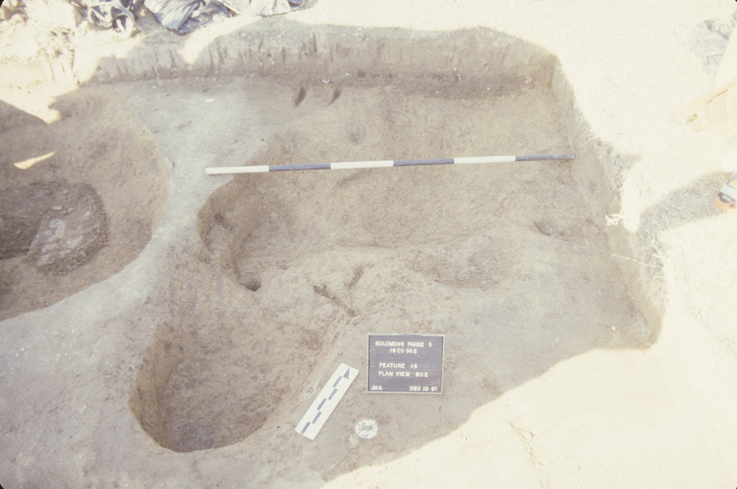
| F16 | Pit, trash | F16.S, F16.W.1, F16.W.2, F16.W.3, F16.E |
| F17 | Hearth, possible | F17 |
| F22 | Pit, trash | F22.W.1, F22.S, F22.W.2, F22.W.3, F22.W.4, F22.E, F22 |
| F24 | Pit, unidentified | F24 |
| F26 | Trench, utility | F26 |
| F41 | Posthole | F41 |
| F43 | Pit, unidentified | F43.S, F43.W.1, F43.W.2, F43.E.1 |
| F46 | Posthole | F46 |
| F47 | Posthole, possible | F47 |
| F48 | Unidentified | F48 |
| F49 | Unidentified | F49 |
| F50 | Posthole | F50, F51 |
| F52 | Posthole | F52 |
| F53 | Hearth, possible | F53 |
| F54 | Posthole, possible | F54 |
| F55 | Posthole, possible | F55 |
| F56 | Hearth, possible | F56 |
| F67 | Unidentified | F67 |
| F68 | Midden, shell | F68 |
| F69 | Midden, shell | F69 |
| F70 | Unidentified | F70 |
| F71 | Posthole, possible | F71 |
| F72 | Unidentified | F72 |
| F73 | Posthole | F73 |
| F74 | Unidentified | F74 |
| F75 | Unidentified | F75 |
| F77 | Unidentified | F77 |
DAACS Seriation Method
DAACS staff aim to produce a seriation-based chronology for each slave-quarter site using the same methods (see Neiman, Galle, and Wheeler 2003 for technical details). Only assemblages from features or stratigraphic groups with more than five ceramic sherds are included in these ceramic-based seriations. Plowzone contexts do not contribute to a DAACS seriation-based chronology. Four features at Ashcomb’s Quarter (18CV362) contained more than 5 ceramic sherds (F14=8 sherds; F16=144 sherds; F22=52 sherds; F68=57 sherds). DAACS computed the frequency of mean-ceramic-date (MCD) types contained in these features. The seriation chronology is derived from a correspondence analysis of these MCD-type frequencies.
Seriated assemblages were assigned to phases. Phases are groups of assemblages that have similar correspondence-analysis scores and are therefore inferred to be broadly contemporary. Phases assigned by DAACS have a P-prefix that precedes the phase number (e.g. P01 equals Phase 1).
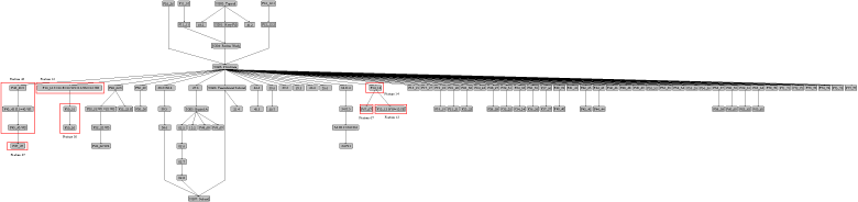
The stratigraphic relationships among stratigraphic groups and unassigned contexts are summarized in the Harris Matrix for the site. Phase assignments from the seriation are shown on the Harris Matrix in color, facilitating comparison of the seriation chronology and the stratigraphic chronology of the site.
Ashcomb’s Quarter Site Phases
Based on the correspondence analysis, DAACS divided the Ashcomb’s Quarter site occupation into 2 phases. The ceramic assemblage from the prehistoric shell midden (F68) emerged in the correspondence analysis as an outlier in relation to the other assemblages, signaling its distinctive composition, and justifying its placement in a separate phase (P01). All 57 ceramic sherds found in the shell midden (F68) were Native American ceramics known as Yeocomico Wares which date to the late Woodland Period. Native American ceramics are not assigned mean ceramic dates and therefore no MCDs or TPQs were calculated for Phase 1.
The ceramic assemblages from F14, F16, and F22 fall into Phase 2 (P02), which represents the historic-period occupation of this site. A Mean Ceramic Date and three TPQ measures were calculated for this phase.
| Phase | MCD | TPQ | TPQp90 | TPQp95 | Total Count |
|---|---|---|---|---|---|
| P01 | . | . | . | . | 57 |
| P02 | 1750.6 | 1820 | 1720 | 1720 | 204 |
The stratigraphic relationships among features, stratigraphic groups and unassigned contexts are summarized in the Harris Matrix for the site. Phase assignments from the seriation are shown on the Harris Matrix in color, facilitating comparison of the seriation chronology and the stratigraphic chronology of the site.
Ashcomb’s Quarter Site-wide Mean Ceramic Date and TPQs
Only 204 sherds from three features contribute to the seriation-based Phase 2 MCD and TPQs. Those dates suggest that the historic-period occupation of Ashcomb’s Quarter fell solidly in the middle of the eighteenth century, with an early TPQp90 of 1720. However, the site-wide Mean Ceramic Date, derived using all ceramic sherds excavated from the site (n=1107), suggests a slightly later occupation in the late-third quarter of the eighteenth century.
Two other measures that are less sensitive to excavation errors and taphonomic processes that might introduce a small amount of anomalously late material into an assemblage were used. They are TPQp90 and TPQp95. The TPQp95 of 1775 provides a robust estimate of the site’s TPQ based on the 95th percentile of the beginning manufacturing dates for all the artifacts comprising it. The TPQp90 of 1762 provides a more robust estimate of the site’s TPQ based on the 90th percentile of the beginning manufacturing dates for all the artifacts comprising it.
| Unit | MCD | TPQ | TPQp90 | TPQp95 | Total Count |
|---|---|---|---|---|---|
| Site | 1772.9 | 1840 | 1762 | 1775 | 1107 |
A Seriation Chronology for Ashcomb’s Quarter
Click on the following link to access a seriation chronology for Ashcomb’s Quarter (18CV362). We use the indefinite article to signify that it is not the only chronology possible, nor even the best one possible.
Ashcomb’s Quarter (18CV362) Harris Matrix
The Harris Matrix summarizes stratigraphic relationships among excavated contexts and groups of contexts that DAACS staff has identified as part of the same stratigraphic group. Stratigraphic groups and contexts are represented as boxes, while lines connecting them represent temporal relationships implied by the site’s stratification, as recorded by the site’s excavators (Harris 1979).
Stratigraphic groups, which represent multiple contexts, are identified on the diagram by their numeric designations (e.g. SG01) followed by the original excavator’s descriptions of them (e.g. “plowzone”). Contexts that could not be assigned to stratigraphic groups are identified by their individual context numbers (e.g. P2-01.04).
Boxes with color fill represent contexts and stratigraphic groups with ceramic assemblages large enough to be included in the DAACS seriation of the site (see Chronology). Their seriation-based phase assignments are denoted by different colors to facilitate evaluation of the agreement between the stratigraphic and seriation chronologies. Grey boxes represent contexts that were not included in the seriation because of small ceramic samples.
See 18CV362 Chronology for stratigraphic and phase information.
This Harris Matrix is based on data on stratigraphic relationships recorded among contexts in the DAACS database. It was drawn with the ArchEd application. See http://www.ads.tuwien.ac.at/arched/index.html.
For a printable version, download the Harris Matrix [69.19 KB PDF].


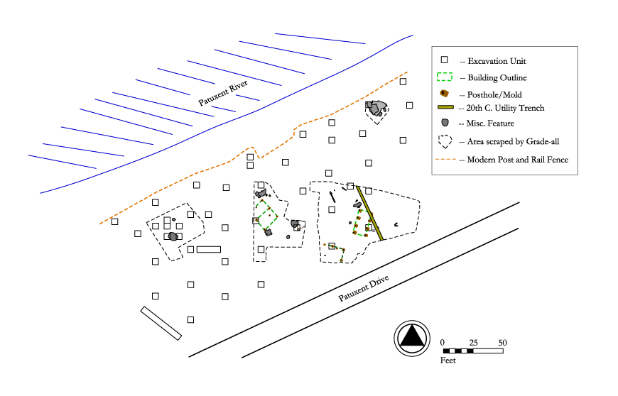
PDF of composite excavator’s plan, compiled by DAACS from original field drawings, with excavation units and features labeled.
PDF of composite excavator’s plan, compiled by DAACS from original field drawings, with only features labeled.
PDF of composite excavator’s plan, compiled by DAACS from original field drawings, with only excavation units labeled.
CAD site plan in .dgn format.
CAD site plan in .dxf format.
Catts, Wade , Stuart Fiedel , Douglas Kellogg , Charles Cheek , Katherine Dinnel , and Kathryn Wood
1999 Phase III Data Recovery Investigations at 18CV362, Ashcomb. Report prepared for the Calvert Soil Conservation District, 1999.
Harris, Edward C.
1979 Principles of Archaeological Stratigraphy. Academic Press, London, England.
Neiman, Fraser D., Jillian E. Galle , and Derek Wheeler
2003 Chronological Inference and DAACS. Unpublished paper presented at the annual meeting of the Society for Historical Archaeology, Providence, Rhode Island. On file at the Department of Archaeology, Thomas Jefferson Foundation, Charlottesville, Virginia.