
| Location: | Mattapany, Patuxent River, MD, United States |
|---|---|
| Occupation Dates: | Third quarter 18th through first quarter 19th century. Phasing and mean ceramic dates can be found on the Chronology page. |
| Excavator(s): | Tidewater Atlantic Research, Inc. |
| Dates excavated: | 1993-1995. |

Overview
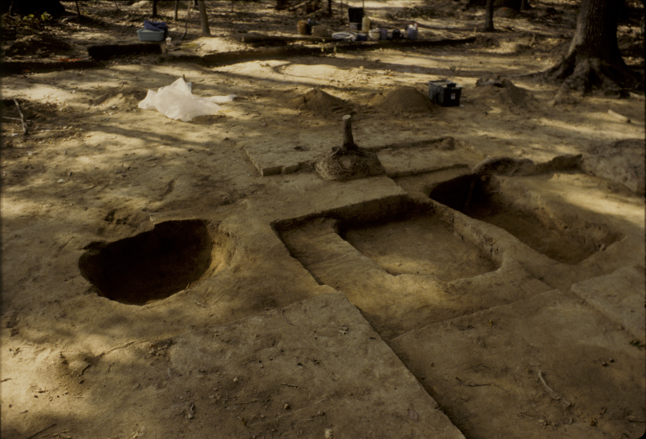
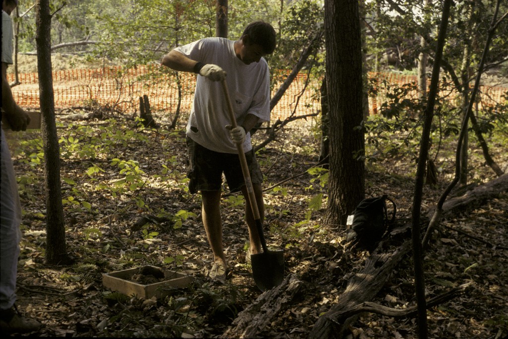
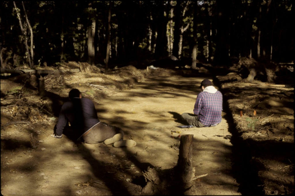
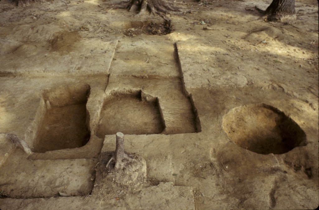
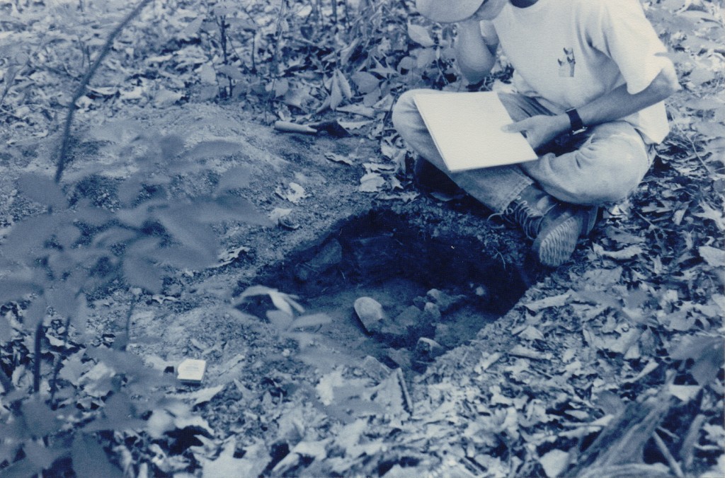
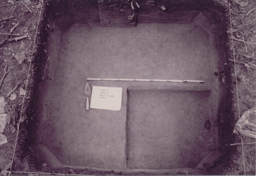
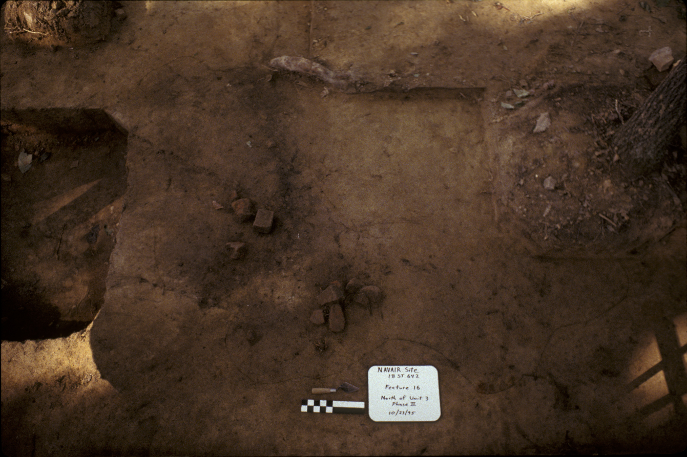
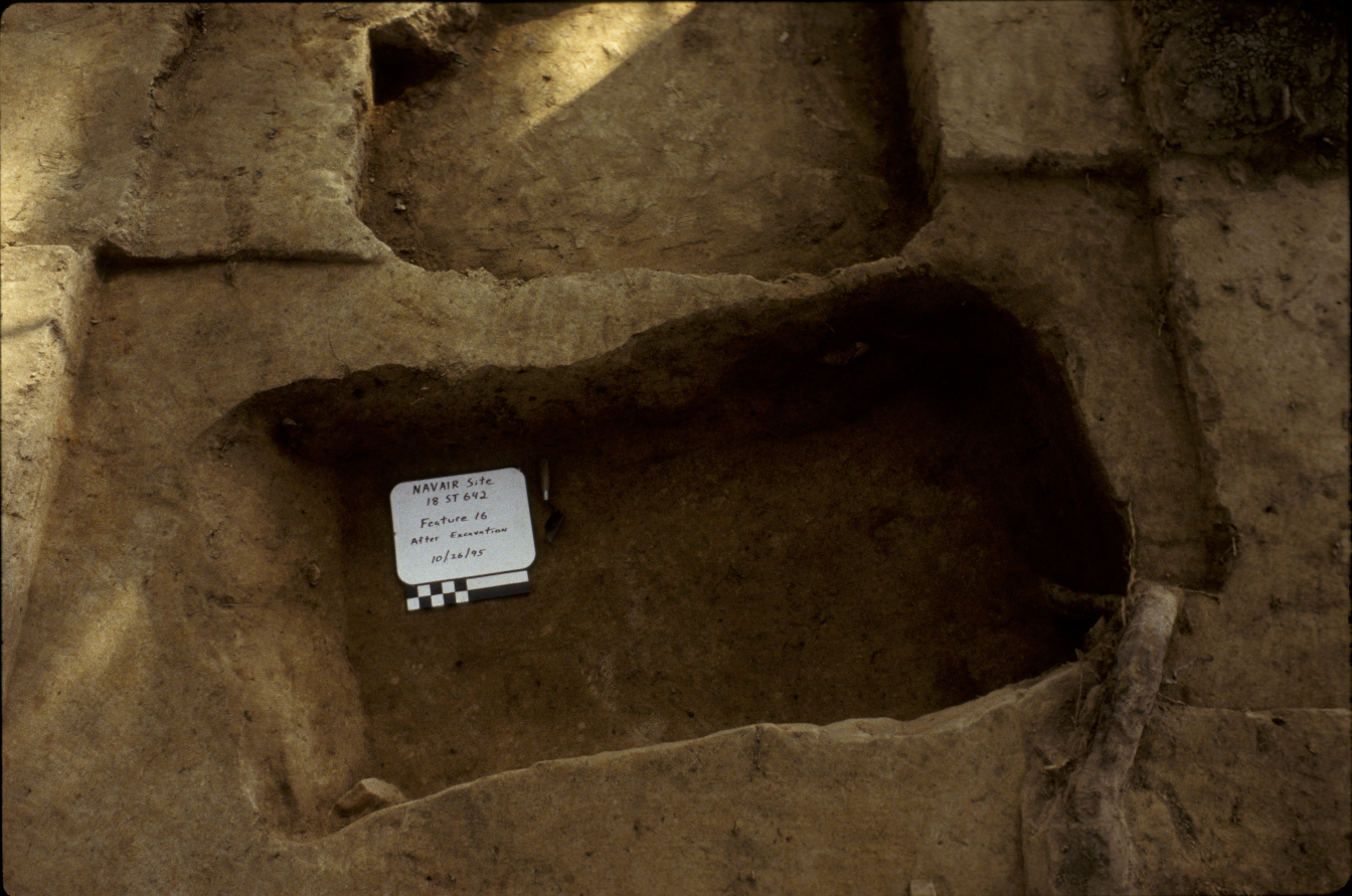
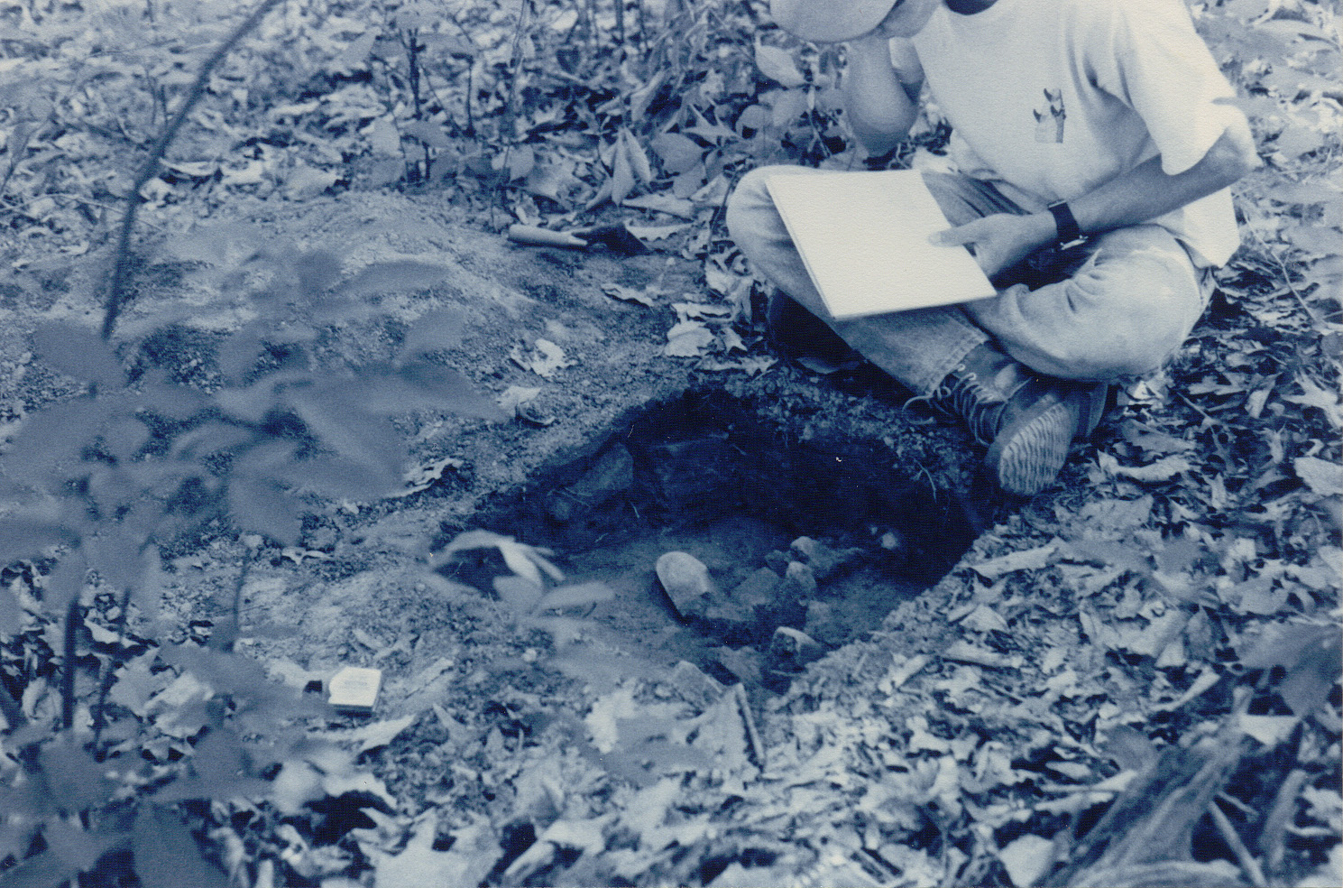
Features 15, 01, and 16, fully excavated, looking west.
The NAVAIR site is located in the middle of the Patuxent River Naval Air Station in St. Mary’s County, Maryland. The NAVAIR (18ST642) site got its name from the Naval Air Station but it was once part of a plantation complex known as Mattapany-Sewall. The site was discovered as part of a large-scale survey of the Naval Air Station to investigate the impact of construction and expansion of the base in light of the Defense Department’s 1993 Base Realignment and Closure decisions. Cultural material associated with the site was found in a 250-x-200 foot area (Tubby 1995:1; 1998:8).
The remains of a brick chimney associated with a mid- to late-eighteenth century structure were uncovered. Three pit features associated with the structure were excavated as well. A Phase I survey was conducted in 1994, with Phase II excavations conducted later in the same year. Full-scale Phase III work was performed in 1995 and the plowzone was removed to expose historic features. The site probably constitutes the remains of a tenant or slave household associated with the Mattapany-Sewall plantation (Tubby 1995: i, 1; 1998: i, 1).
Documentary Evidence
NAVAIR (18ST642) was located in an outlying part of a plantation complex known as Mattapany-Sewall. Mattapany-Sewall was an 1,000 acre tract on the south shore of the Patuxent River patented in 1663 by Henry Sewall. It was one of ten plantations in the Mattapany area patented between 1648 and 1665. Sewall died in 1665 and following his death, his widow, Jane, married Charles Calvert, who was governor of the colony. Upon their marriage, the property was ceded to Calvert, the third Lord Baltimore. The two resided on the property until they returned to England in 1684 and remained there until their deaths (Chaney n.d.; Tubby 1995:1, 11-12; 1998:6).
Charles Calvert, and later Sewall owners, appear to have practiced diversified farming when at all possible. Calvert was something of a progressive farmer, who experimented with different crops in order to lessen dependence on tobacco. While living at St. Johns in St. Mary’s City in 1664, he wrote to his father about planting large quantities of wheat, barley, oats, and peas, and of sowing flax, hemp, and “garden seeds” sent to him by his father. Other accounts mention gardens, orchards, and pastures on the property. When Calvert moved to Mattapany a couple of years later, he apparently tried most of the same practices. In 1672, he wrote of his success with wheat, barley, oats, and peas, and of planting a barrel of “white flaxen wheat.” His wife also sent dried peaches back to England several times, but it is not clear that they came from Mattapany’s orchards. But tobacco was still an important crop for Calvert and no doubt corn was as well (Chaney n.d.).
After Calvert returned to England in 1684, Mattapany underwent a long period of absentee ownership/trusteeship, occupied largely by tenants. Not much is known about what they grew there, other than one mention of corn. During these tenant farming years, it is likely that the agricultural focus was on tobacco and corn (Chaney, personal communication).
In 1772, the property was re-patented to Major Nicholas Sewall, Henry and Jane Sewall’s son, by Charles Calvert, the fifth Lord Baltimore. Major Sewall’s estate, which included Mattapany-Sewall, amounted to 10,000 acres and included thirty-one slaves when he died in 1737. Five years later, property heir Nicholas Lewis Sewall came of age and took over ownership of Mattapany-Sewall. By all accounts, he was a successful planter and is thought to have built the current Mattapany manor house. Much of his income was derived from diversified agricultural pursuits. His account books indicate that tobacco and corn were grown there and that he bought flax seed. Other listings include things like rye, wheat, peas, and cranberries. It’s not clear that these things were grown by him, but most were certainly possible crops. Sewall also ran a mill and a salt works, which added to his income and gave some of his enslaved laborers non-agricultural roles on the plantation (Chaney n.d.).
Mattapany’s size and value decreased during the American Revolution due to British raids and post-war economic hardships. Sewall’s slave holdings decreased from thirty-nine slaves in 1790 to twenty-seven in 1796. And in 1798, the amount of land he owned was 827 acres. But by his death in 1800, the Mattapany-Sewall plantation was 830 acres and the number of enslaved individuals had increased to thirty-six. Sewall’s son took over the property and an 1801 probate inventory mentions wheat in the field as well as clover and flax. After that, we don’t know much about what was grown at Mattpany until the Thomas family takes over in the 1840s (ibid.). The property remained in Sewall hands until 1840 (Chaney n.d.; Tubby 1995: 15-16; 1998:21-22).
Excavation history, procedure, and methods
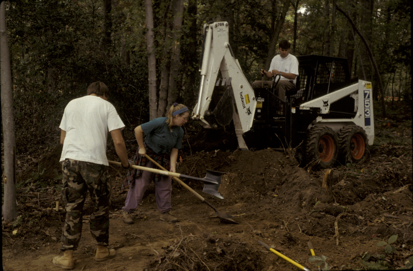
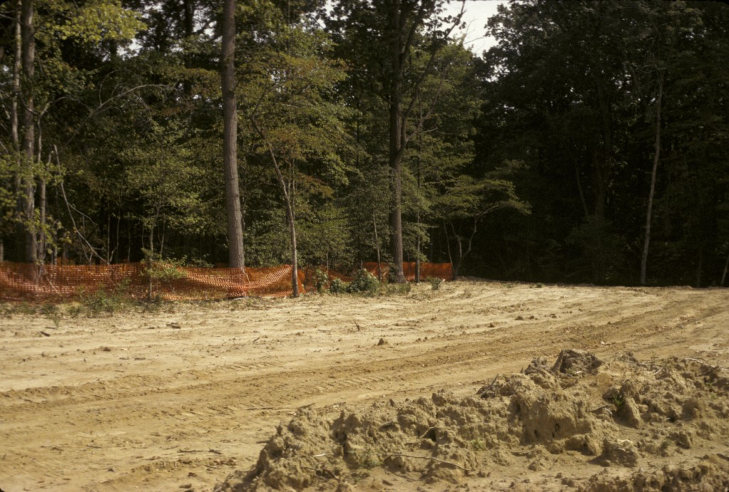
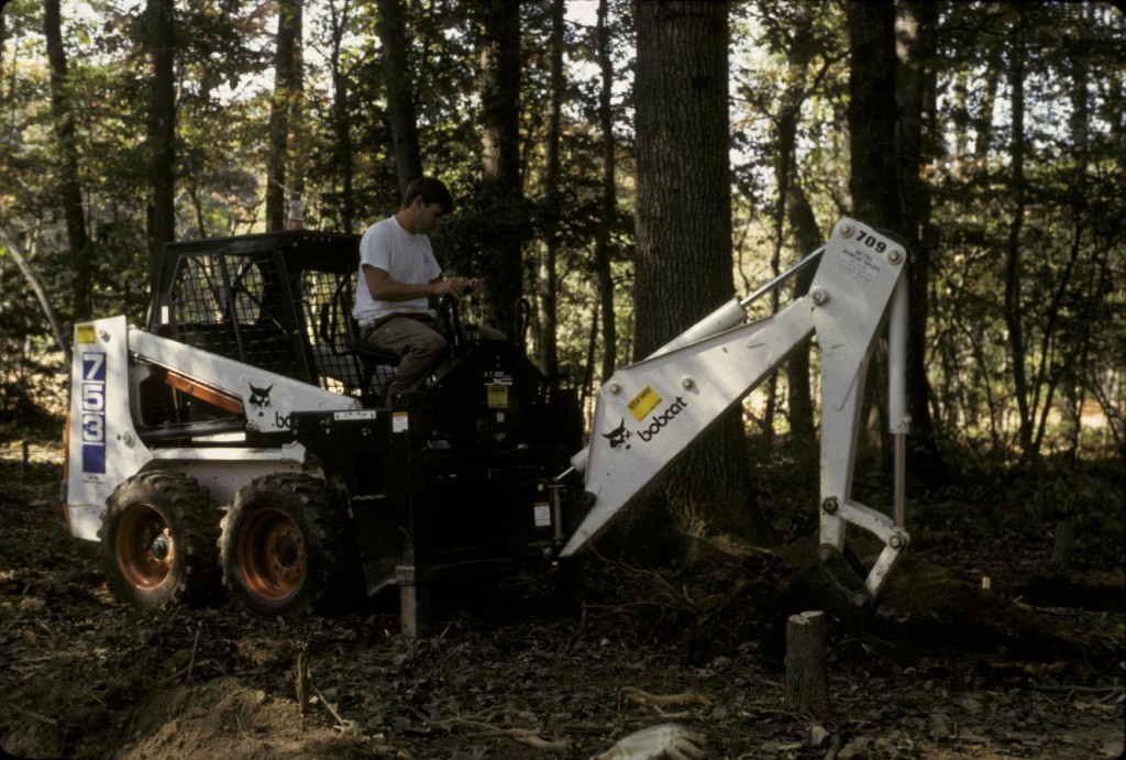
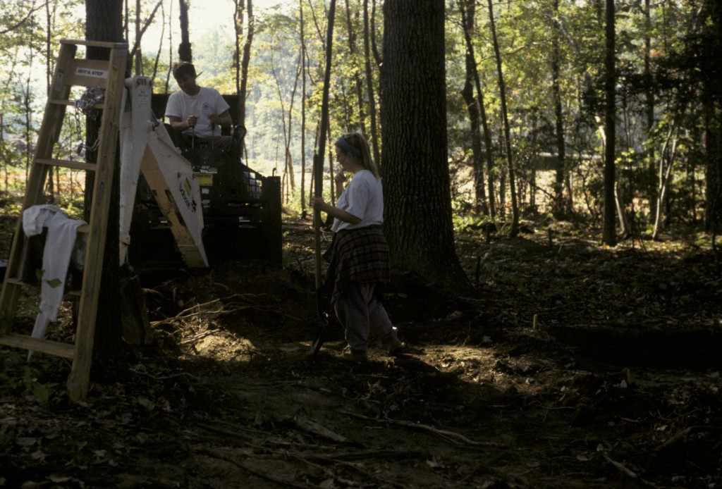
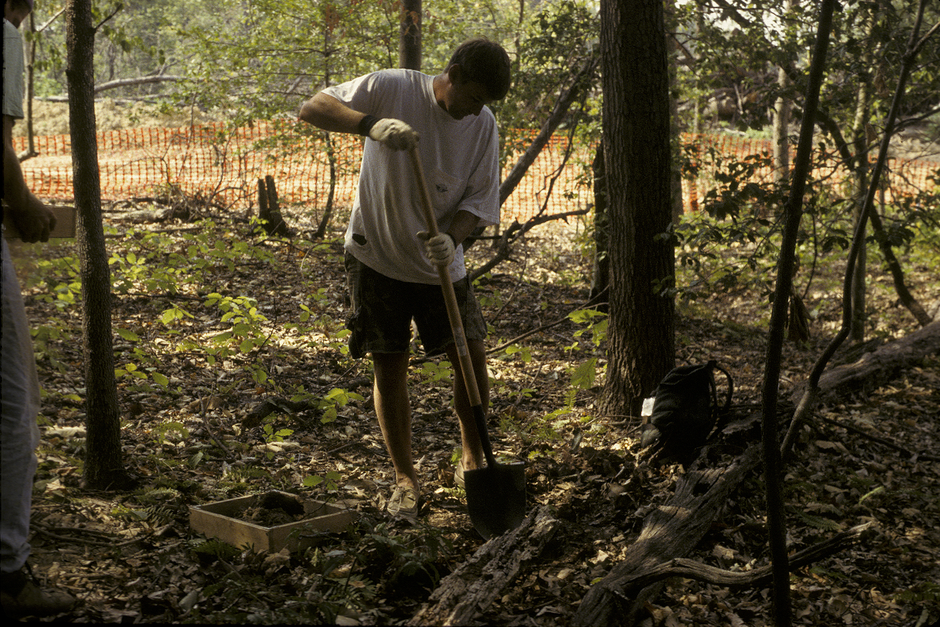
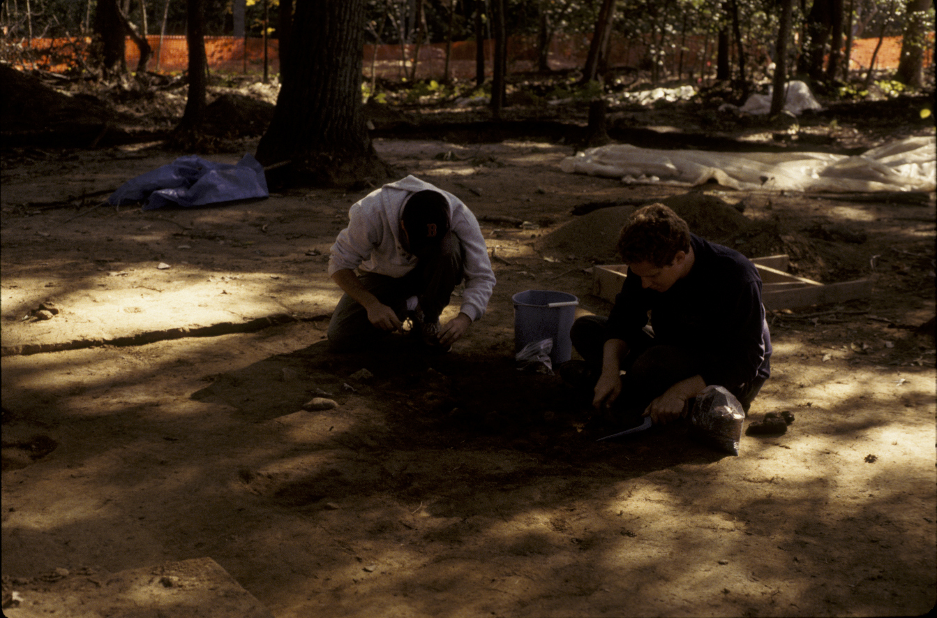
Bobcat and shovels used to strip plowzone.
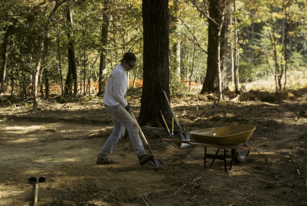
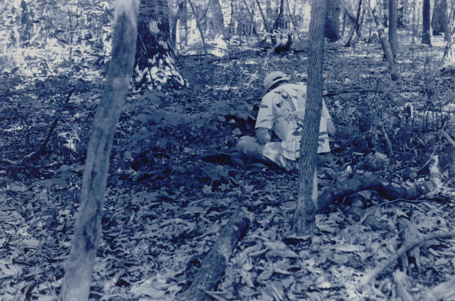
Archaeological survey, testing, and excavation conducted between 1993 and 1995 by Tidewater Atlantic Research, Inc. revealed the remains of a single-dwelling structure and associated yard located on what is known as the NAVAIR site. The site was initially discovered during a Phase I survey in 1994, conducted in order to investigate areas slated for new construction as part of the U.S. military’s 1993 Base Realignment and Closure decisions. Subsequent testing and excavation were recommended based on the presence of eighteenth-century artifacts and the location of the site within the historical boundaries of the Mattapany-Sewall plantation complex, an eighteenth-century property (Tubby 1998:i, 1, 23).
All phases of survey and excavation were carried out by Tidewater Atlantic Research, Inc. (TAR). During Phase I survey, 168 shovel test pits were excavated, revealing artifacts dating from the mid- to late-eighteenth century. Phase II excavations were conducted in 1994 in order to further define the site limits. Eight radial STPs were excavated around positive STPs from Phase I and six 5-x-5 foot units were excavated. A brick chimney and trash pit were discovered and the site extent was defined as an area measuring 250-x-200 feet to be further examined during Phase III excavations (Tubby 1995:24; 1998:8, 23).
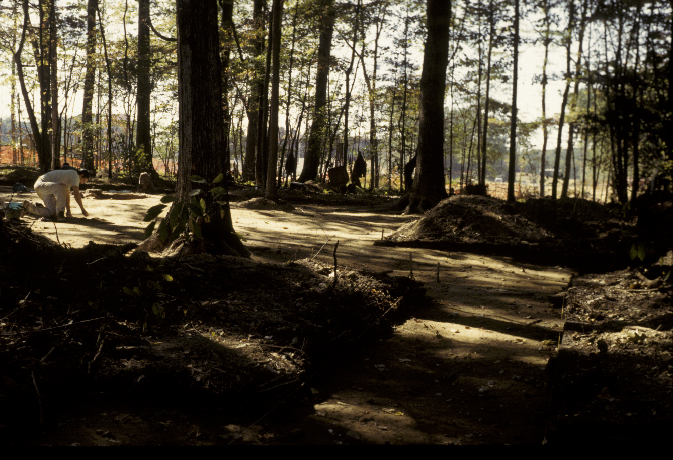
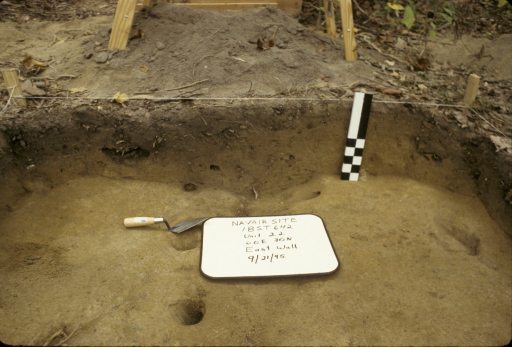
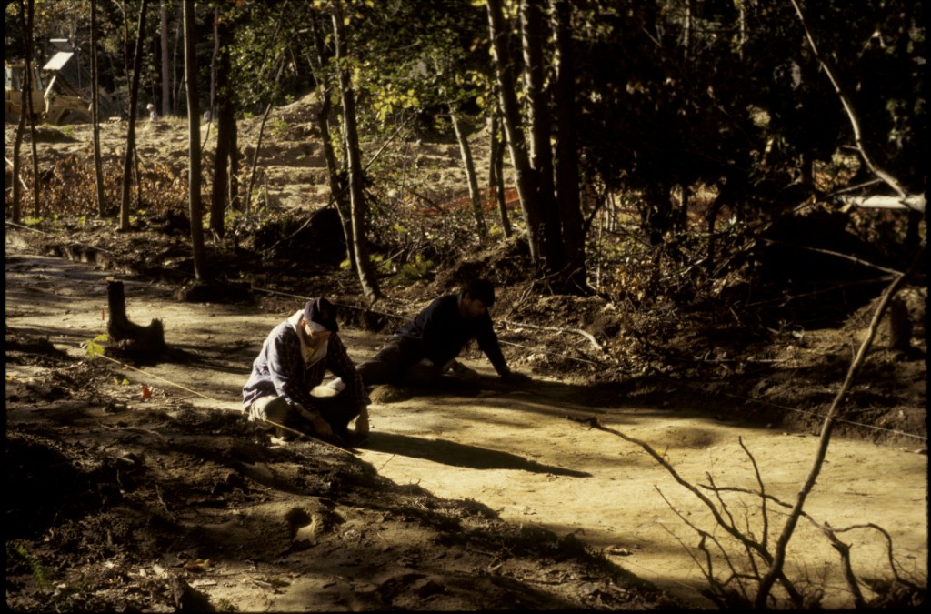
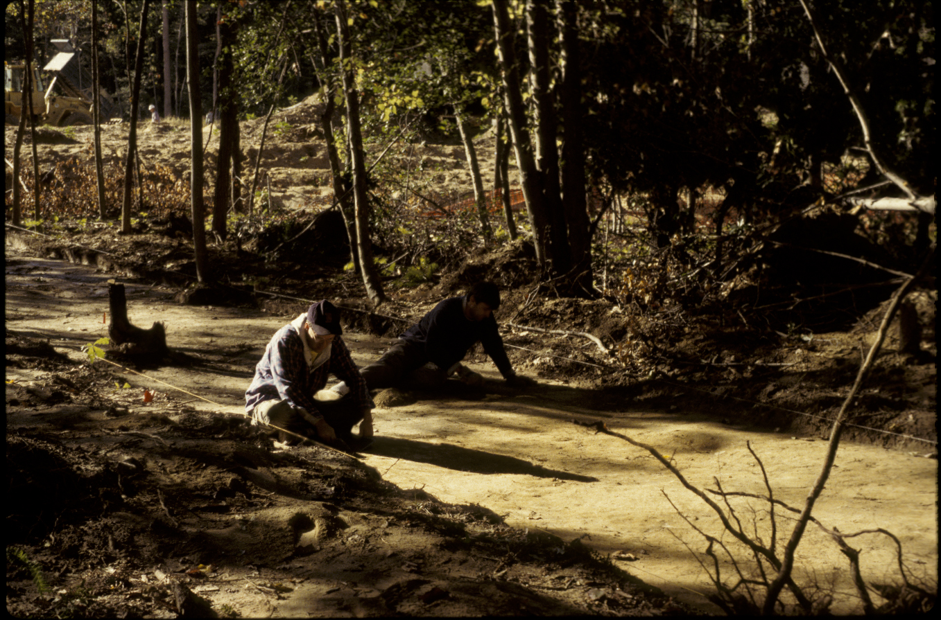
View of NAVAIR looking southwest; “East Trench” in foreground.
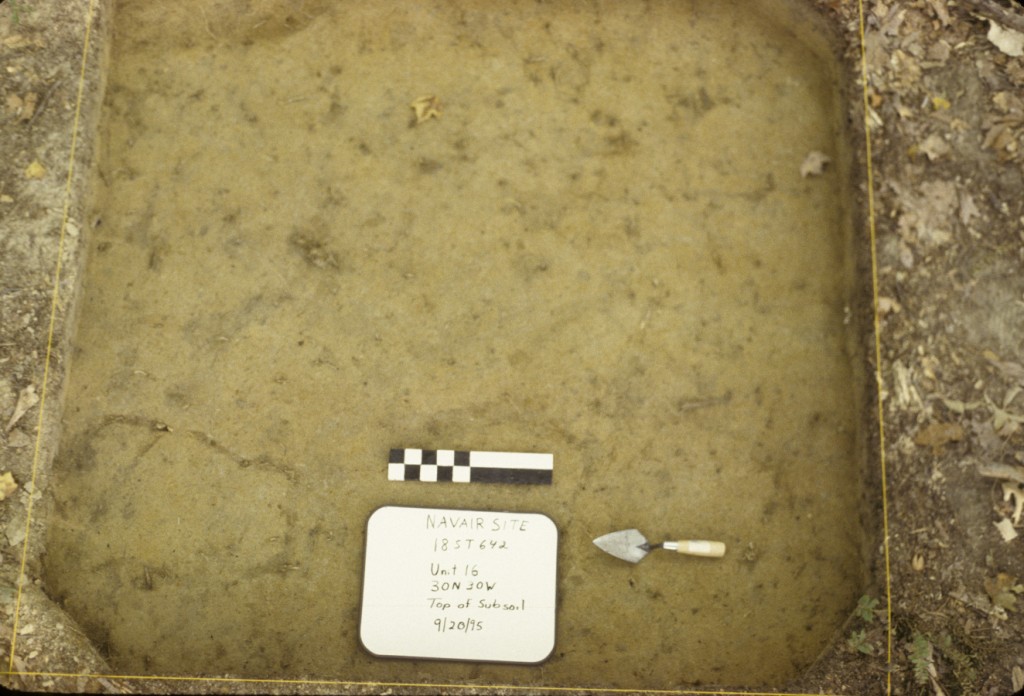
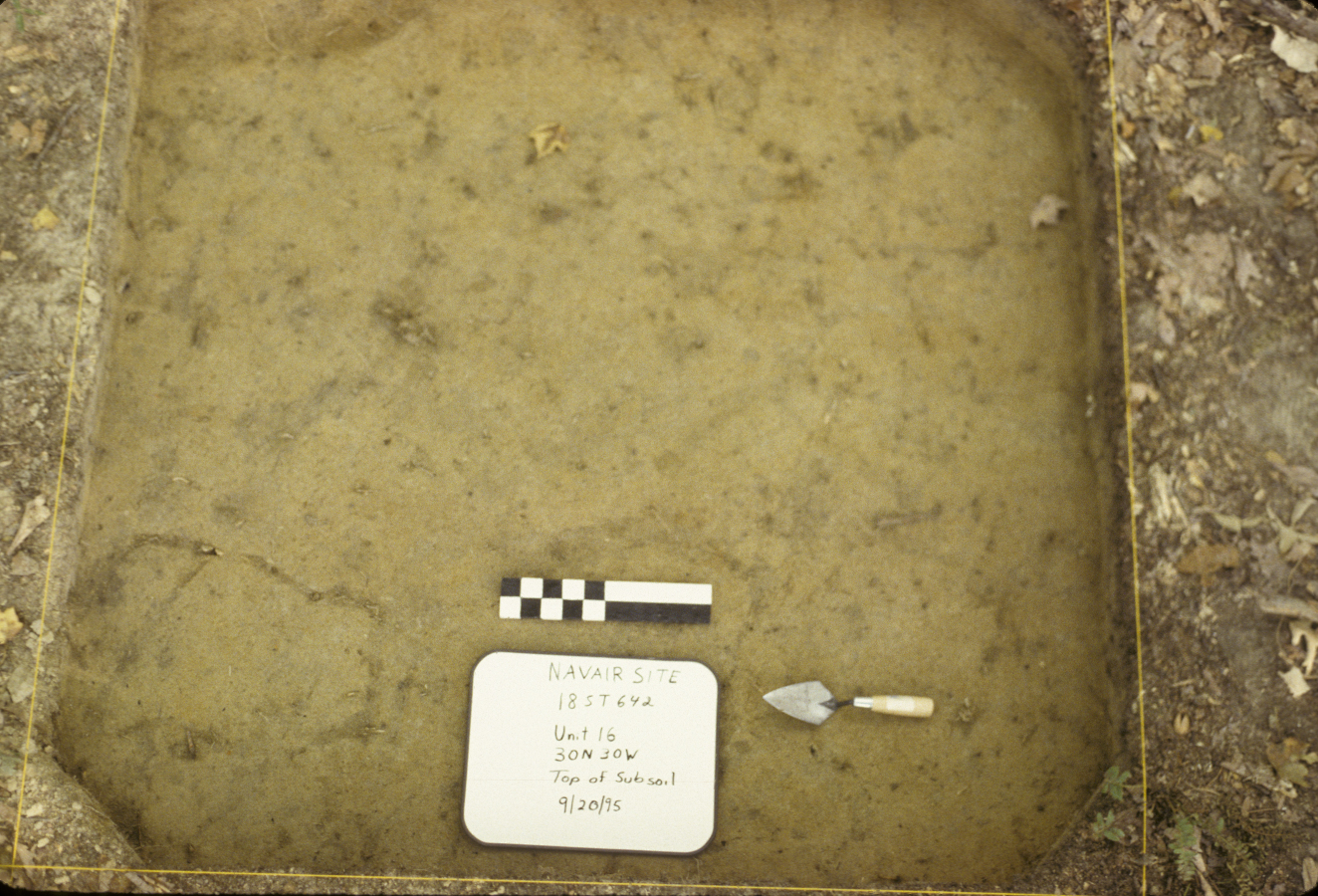
Forty-three 5-x-5 foot units were placed in the delineated site area during Phase III, conducted in 1995. The units were systematically placed so that the distance between them was no greater than thirty feet. Additionally, 93 STPs, on 25-ft intervals, were excavated. Phase III quadrats were not excavated stratigraphically; topsoil, plowzone, and subsoil were removed as a single context (Tubby 1998:9-12).
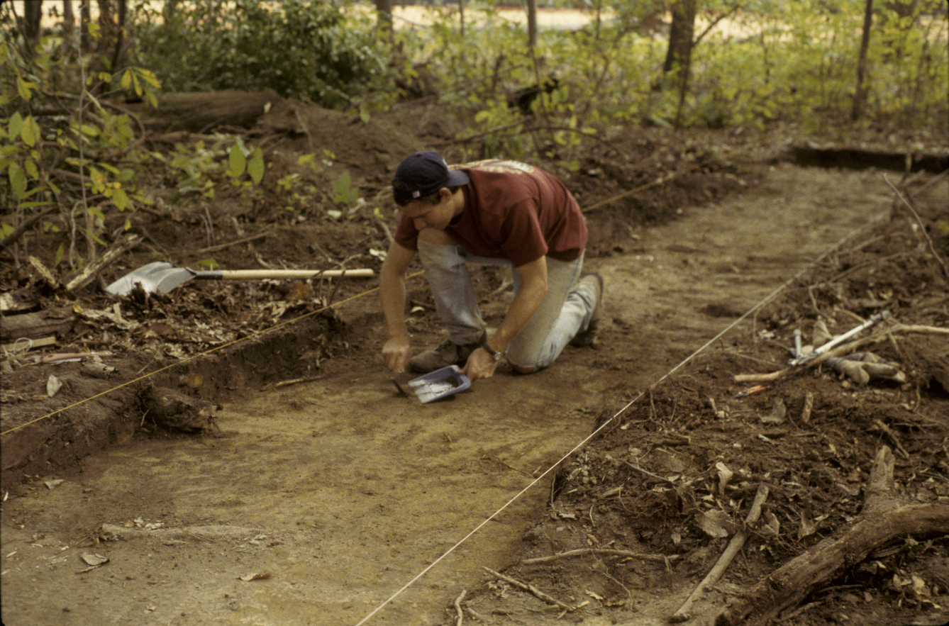
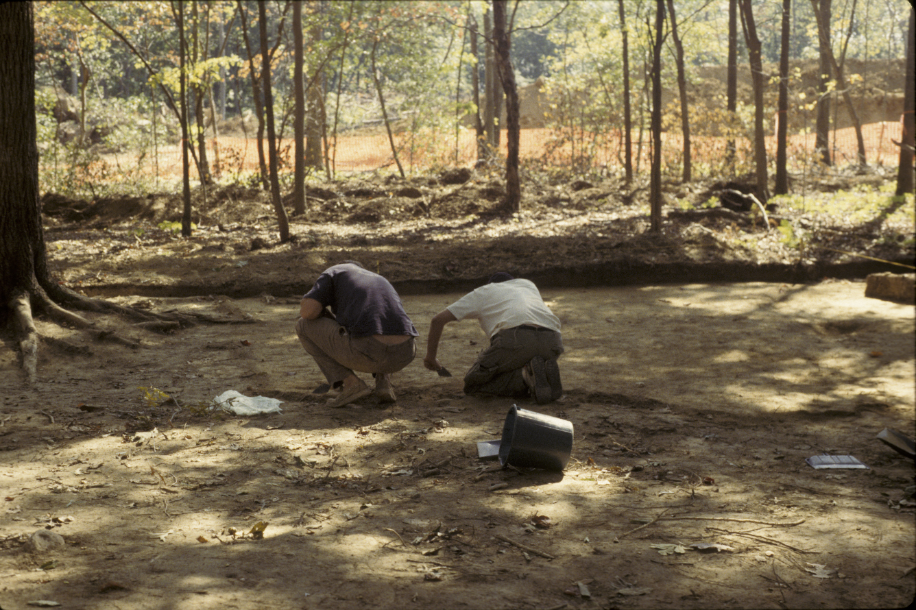
Four block areas were defined based upon artifact distributions and features found during STP and unit plowzone testing: a 90-x-10 foot area, a trench 30 feet long and varying in width from five to eleven feet, an area 55-x-60 feet referred to as the “house block”, and a 20-x-30 foot area (see site map). Plowzone in these blocks was then mechanically removed and shovels and trowels were used to expose subsoil and any sub-surface features within the blocks (Tubby 1998:12-15).
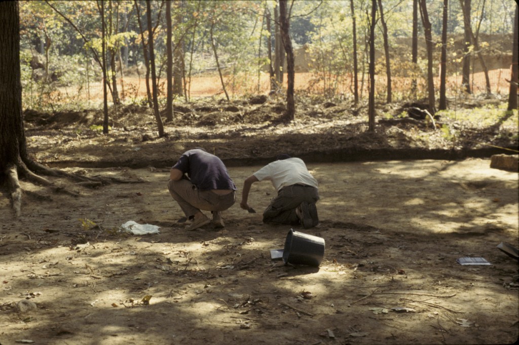
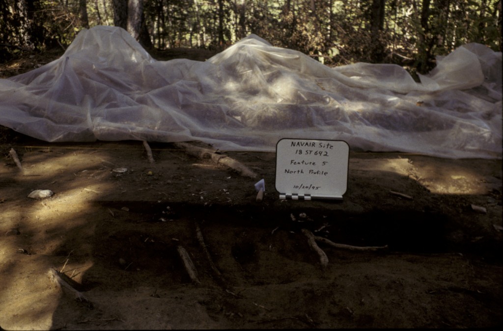
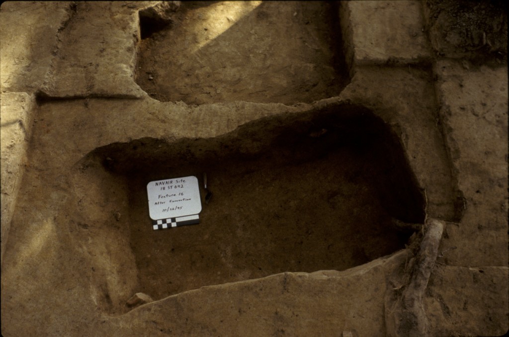
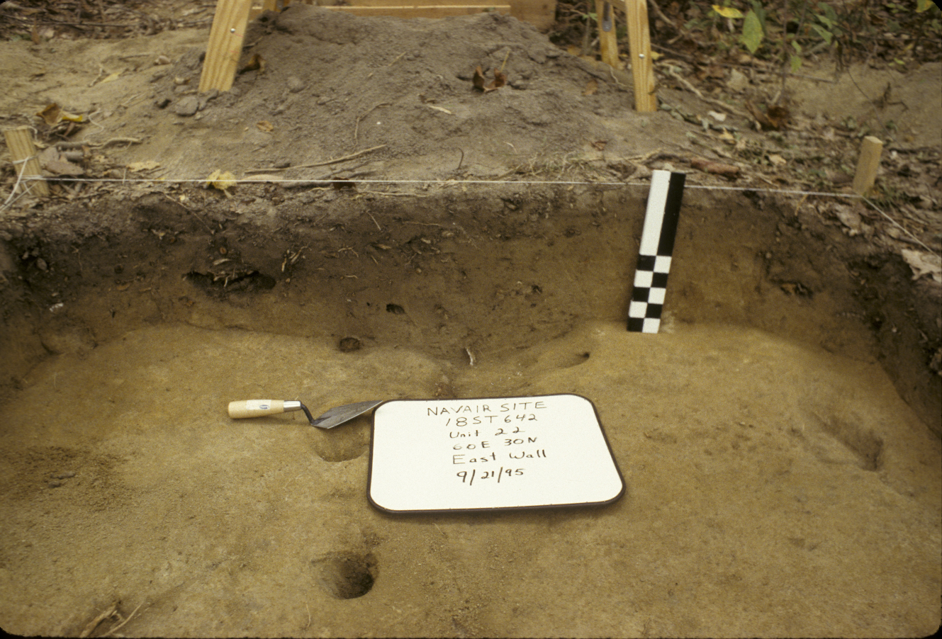
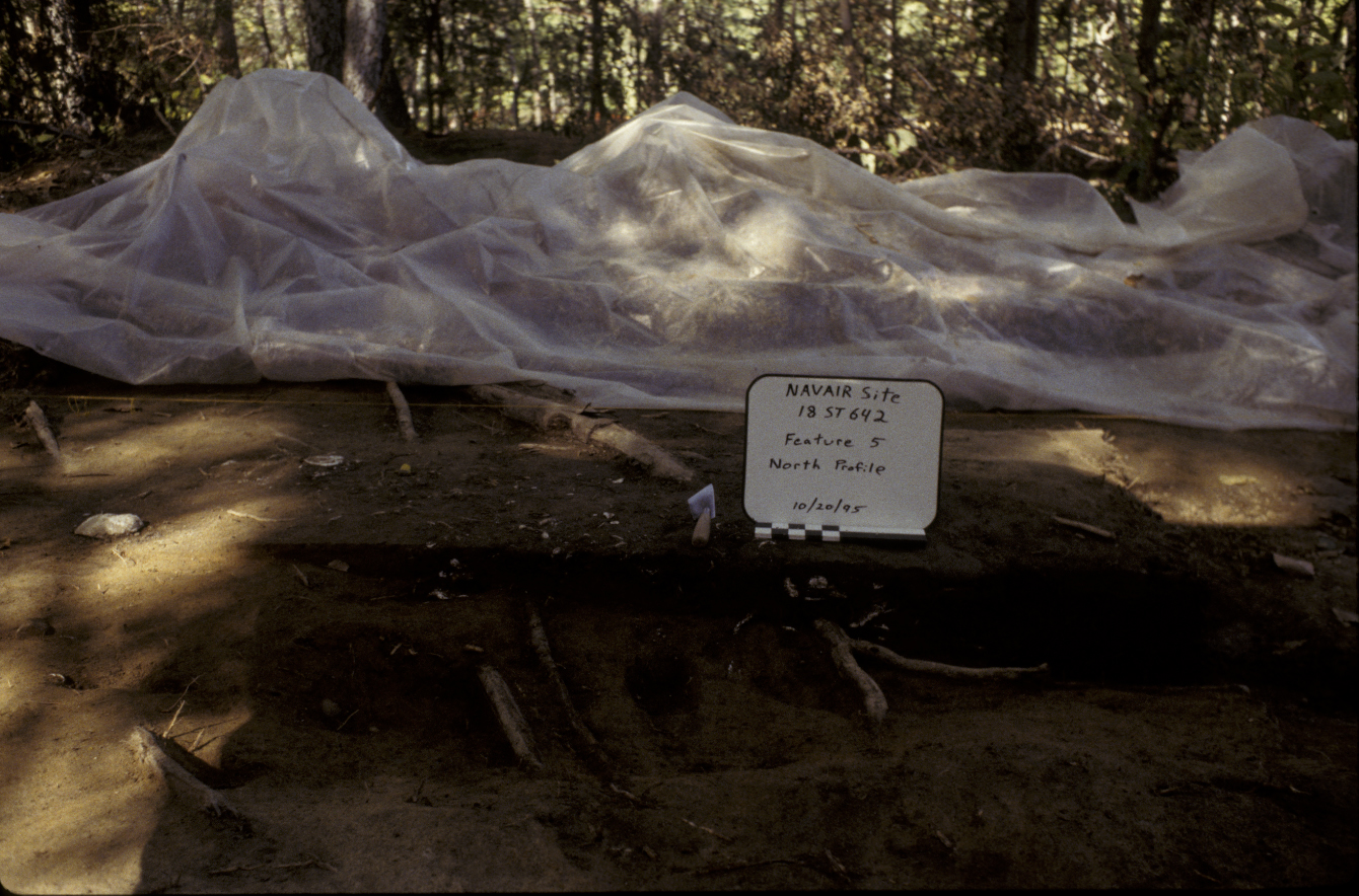
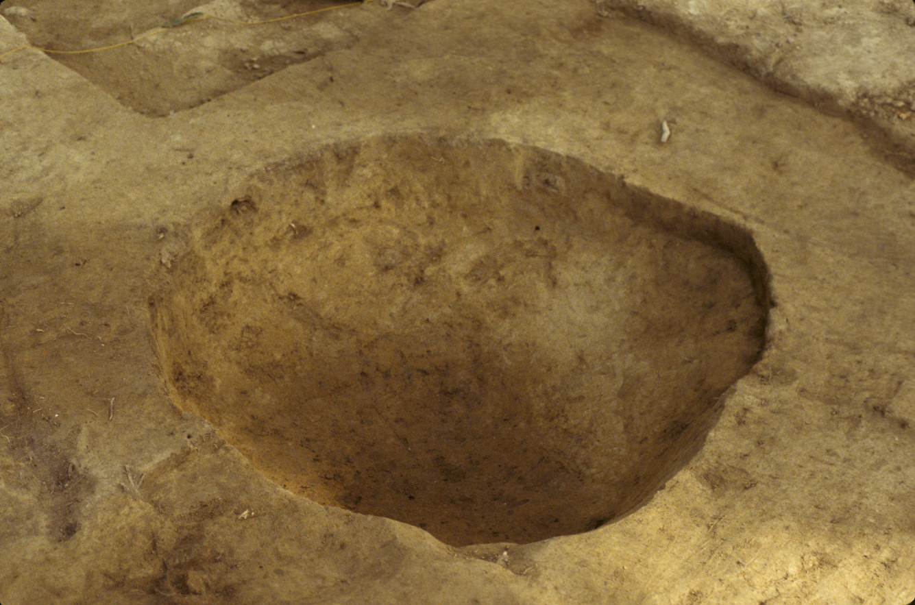
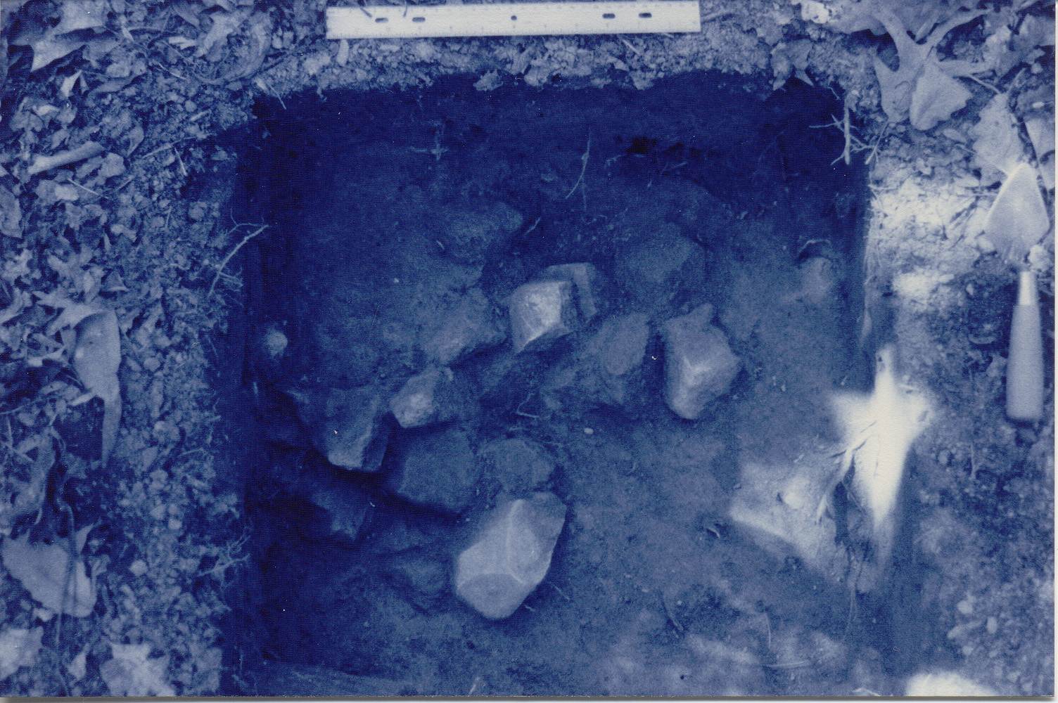
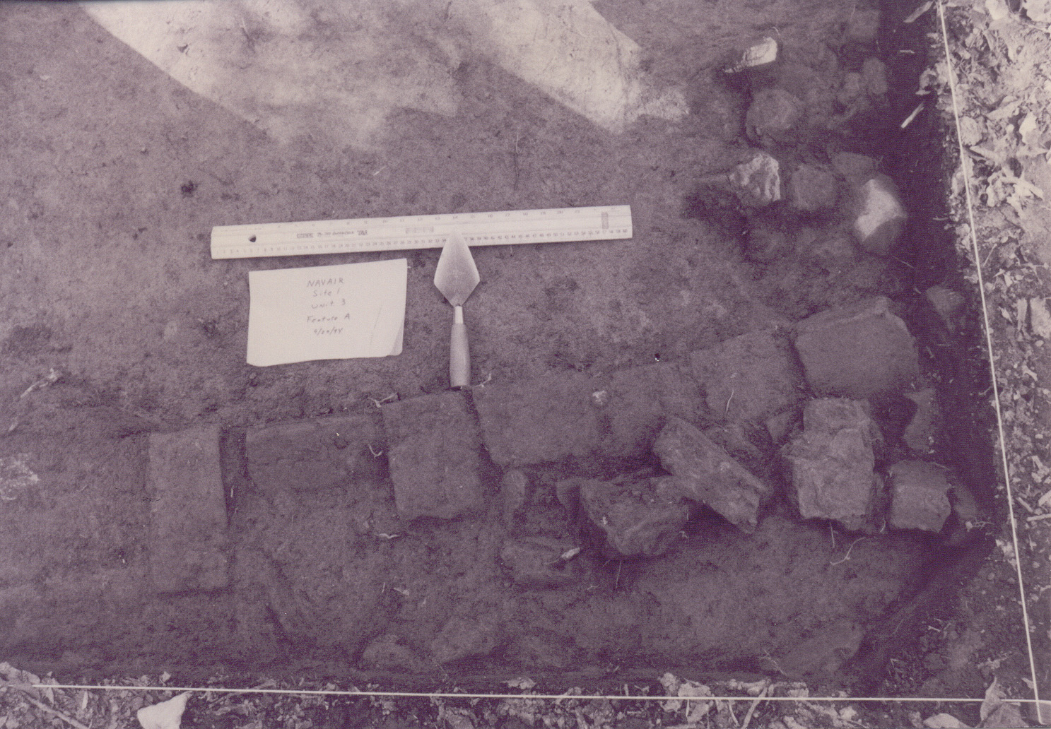
The major features of the site are associated with the “house block” and the adjacent trench to the northeast, the “east trench.” The three features located in the “house block” and thought to be associated with one structure are: Feature 1, a chimney base, Feature 15, a refuse pit, and Feature 16, a subfloor pit. The “east trench” features include Feature 5, a probable tree fall later used as a trash pit, and the smaller Feature 6, located approximately twenty feet west of the trash pit. It was thought to be a possible posthole but there is no substantial evidence to support this. Feature 18, an unidentified pit, is located 15 feet to the northwest of Feature 6. It was identified as a shallow, circular depression at the ground surface and became irregularly shaped with depth. All features were bisected and excavated in natural levels (Tubby 1998:15-18, 25-47).
Summary of research and analysis Tidewater Atlantic Research Inc.
Based on historic documents and artifacts recovered, it was concluded by Ray Tubby, the principal investigator, that the NAVAIR site (18ST642) was a small structure dating to the third and fourth quarters of the eighteenth century. The structure was located nearly a mile away from the manor house on the outskirts of the Mattapany-Sewall plantation and would have been associated with agricultural activities. Given its location, low artifact density, and subfloor pit, Tubby concluded that the site was most likely a slave quarter (Tubby 1998:101).
Tidewater Atlantic Research produced several artifact distribution studies based on plowzone artifact density. The highest density of plowzone artifacts occurred in the central and southern part of the site. Tubby argued that, based on high levels of domestic artifacts, the areas west and southwest of the structure were the main yard space. The high density of brick on the east side of the house probably indicates where the chimney collapsed after the site was abandoned (Tubby 1998:80-84).
DAACS
DAACS attempted to produce a seriation-based intrasite chronology for the NAVAIR site. There are no discrete occupation phases evident in the ceramic assemblages from non-plowzone features. As a result, DAACS produced a site-wide mean ceramic date and TPQ for the site, with the MCD of 1790 and TPQp90 of 1762. Please see the NAVAIR Chronology page for more details on DAACS dating methods and dates for the NAVAIR site.
Leslie Cooper, Jillian Galle, and Jesse Sawyer
The Digital Archaeological Archive of Comparative Slavery
June 2010
Things you need to know before you use the NAVAIR site data:
- Phase II consisted of eight shovel test pits and six 5-x-5 foot units plotted on a grid oriented with magnetic north. The shovel test pits are radials around positive pits from the Phase I survey. The Phase II STPs are identified like Phase I radials, e.g. “C26N20.” Units were dug stratigraphically and divided into natural levels, so contexts are identified by unit number followed by level, e.g. “U3L1.” Note: Units 1 through 6 from Phase II are delineated from Units 1 through 6 from Phase III in this way because units were not dug stratigraphically during Phase III and are simply identified by unit number (no level), e.g. “01” represents Unit 1 from Phase III.
- Phase III involved excavation of 93 shovel test pits and 43 5-x-5 foot units within the defined site boundary (orange dotted line on site map). In the DAACS database and site maps, all phases are tied in to the same grid, with a datum of “0,0” at the southwest corner of the brick feature, Feature 01. This is the same datum used in Phase II and Phase III of the project.
- Twenty features were initially identified during excavation but after further examination in the field, eleven of the features were determined to be rodent burrows and hence not recorded as features. Nine features are recorded in the DAACS database. Since the feature numbers used in the database are the same as those assigned in the field, there are number gaps. Selected features were bisected and excavated in natural levels. All feature sediment was screened through ¼-inch mesh. Additionally, one-liter samples were removed from each feature and water-screened through fine mesh for faunal and botanical recovery.
Feature Numbers
The original excavators of the NAVAIR Quarter (18ST642) initially assigned numbers to twenty features. After further examination in the field, eleven of those twenty features were determined to be rodent burrows. Those eleven features were given feature numbers but not recorded or excavated. They are not in the DAACS database. The remaining nine features were excavated and recorded. These are in the DAACS database. The exclusion of the eleven numbered but not excavated and recorded features explains the gaps in the feature numbers in the Archive. All Feature Numbers have a F-prefix, which precedes the number (i.e. F01 equals Feature 1). Some features were bisected and excavated in natural levels. All feature sediment was screened through ¼-inch mesh. Additionally, one liter samples were removed from each feature and water-screened through fine mesh for faunal and botanical recovery.
Feature Groups
Feature groups are sets of features whose spatial arrangements indicate they were part of a single structure (e.g. structural postholes, subfloor pits, and hearth) or landscape element (e.g. postholes that comprise a fenceline). Feature Groups assigned by DAACS have a FG-prefix, which precedes the number (i.e. FG01 equals Feature Group 1).
| Feature | Feature Type | Contexts |
|---|---|---|
| F01A | Brick in Course | U3FA |
| F01B | Rubble Scatter | U3FB |
| F16 | Pit, subfloor(< 28 sq.ft) | F16L1, F16L2, F16L3, F16L4, F16L5, F16L6, F16L7, F16L8, F16SH |
| Feature | Feature Type | Contexts |
|---|---|---|
| F02 | Post, driven | |
| F05 | Pit, trash | F05L1, F05L2, F05L3 |
| F06 | Posthole, possible | F06L1 |
| F15 | Pit, unidentified | F15LUNKNOW, F15L1, F15L2, F15L3, F15L4, F15NH |
| F17 | Midden, shell | F17L1 |
| F18 | Pit, unidentified | U4FD1, U4FD2, U4FD3 |
DAACS Chronologies
Chronology is a necessary first step to wringing historical meaning from the archaeological record. Because the archaeological record is a contemporary phenomenon, time is an inferred dimension in archaeology. Here we present three different types of chronologies for the NAVAIR site using methods we have developed to infer and evaluate archaeological chronologies for artifact assemblages included so far in DAACS.
This page provides three different types of chronologies for the NAVAIR site. These chronologies are described below. Chronologies for every archaeological site in DAACS are produced by DAACS staff using the same methods. As a result, DAACS chronologies are standardized and provide the best means for comparing data from multiple sites and regions.
Our choice of methods is driven by both theoretical and practical considerations. On the theory side, we are interested in placing assemblages as events in time so that we can chart trends in assemblage content – say the frequency of tea vessels – across multiple sites. However, assemblages are not instantaneous events. Assemblages accumulate over periods of time, usually decades. Some chronological methods in historical archaeology provide estimates of the mean of the assemblage temporal distribution, while others do not. Termini post and ante quem, the most commonly encountered methods, are estimates of the upper and lower extreme values of the assemblage temporal distribution, not its mean. They are therefore poorly suited to our purposes. Two methods, frequency seriation and mean ceramic dating, do offer estimates of temporal distribution means and we rely on them here. We do, however, provide TPQs in the following analyses.
Phase assignments, mean ceramic dates, and TPQs are generated using ceramic ware dates found on the Ceramic Ware and Mean-Ceramic-Date Types page in the About the Database section. If a site’s principal investigator produced a site chronology using different dates and methods, it is discussed on the site’s background page. DAACS users are also encouraged to explore the Mean Ceramic Date Queries for dating individual contexts, features, and stratigraphic groups.
Intra-Site Phase Assignments
For each site, DAACS staff attempt to produce an intra-site chronology using seriation methods. The units in the seriation are ceramic assemblages from contexts with more than five sherds. Plowzone and topsoil contexts are excluded from this analysis. An initial seriation solution is derived using correspondence analysis of type frequencies in the assemblages. This order is then compared to an order derived from mean ceramic dates. If the orders are correlated, we assign assemblages – and the contexts and stratigraphic groups to which they belong – to phases based on their CA scores. Phases can be further evaluated by plotting them on a Harris Matrix (for details see Neiman, Galle and Wheeler 2003).
At NAVAIR, only four contexts contained over five ceramics. The CA did not produce an ordered seriation for these four contexts, therefore no phases were assigned.
NAVAIR Mean Ceramic Date and TPQs Generated From Non-Topsoil/Plowzone Contexts
DAACS staff also produce a site-wide Mean Ceramic Date and TPQs using ceramic-ware types from all stratified, non-plowzone contexts at a given site. A total of 164 ceramic sherds from stratified contexts at NAVAIR contributed to the following dates.
NAVAIR’s Mean Ceramic Date of 1789.5 places the site’s occupation solidly in the fourth quarter of the eighteenth century. Two other measures that are less sensitive to excavation errors and taphonomic processes that might introduce a small amount of anomalously late material into an assemblage were used. They are TPQp90 and TPQp95. The TPQp95 of 1762 provides a robust estimate of the site’s TPQ based on the 95th percentile of the beginning manufacturing dates for all the ceramics comprising it. The TPQp90 of 1762 provides a more robust estimate of the site’s TPQ based on the 90th percentile of the beginning manufacturing dates for all the ceramics comprising it.
| Unit | MCD | TPQ | TPQp90 | TPQp95 | Total Count |
|---|---|---|---|---|---|
| All NAVAIR Contexts except Plowzone and Topsoil | 1789.5 | 1820 | 1762 | 1762 | 164 |
NAVAIR Mean Ceramic Date and TPQs Generated From All Contexts
Finally we provide a mean ceramic date and TPQs that are generated using ceramics from all archaeological contexts at the NAVAIR site, including topsoil and plowzone contexts, as well as data from shovel-test-pits. A total of 996 sherds contributed to these dates.
| Unit | MCD | TPQ | TPQp90 | TPQp95 | Total Count |
|---|---|---|---|---|---|
| All Contexts from NAVAIR | 1790 | 1830 | 1762 | 1762 | 996 |
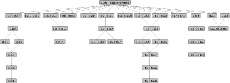
NAVAIR Harris Matrix
The Harris Matrix summarizes stratigraphic relationships among excavated contexts and groups of contexts that DAACS staff has identified as part of the same stratigraphic group. Stratigraphic groups and contexts are represented as boxes, while lines connecting them represent temporal relationships implied by the site’s stratification, as recorded by the site’s excavators (Harris 1979).
Stratigraphic groups, which represent multiple contexts, are identified on the diagram by their numeric designations (e.g. SG01) followed by the original excavator’s descriptions of them (e.g. “plowzone”). Contexts that could not be assigned to stratigraphic groups are identified by their individual context numbers (e.g. 025N).
Boxes with color fill represent contexts and stratigraphic groups with ceramic assemblages large enough to be included in the DAACS seriation of the site (see Chronology). Their seriation-based phase assignments are denoted by different colors to facilitate evaluation of the agreement between the stratigraphic and seriation chronologies. Grey boxes represent contexts that were not included in the seriation because of small ceramic samples.
See NAVAIR Chronology for stratigraphic and phase information.
This Harris Matrix is based on data on stratigraphic relationships recorded among contexts in the DAACS database. It was drawn with the ArchEd application. See http://www.ads.tuwien.ac.at/arched/index.html.
For a printable version, download the Harris Matrix [447.62 KB PDF].


PDF of NAVAIR site map showing Phases I, II and III.
CAD site plan in .dgn format.
Chaney, Ed
n.d. Personal Communication
Chaney, Ed
n.d. Historical Background of Mattapany, St. Mary’s County, Maryland. Manuscript on file, Jefferson Patterson Park and Museum, St. Leonard, Maryland.
Harris, Edward C.
1979 Principles of Archaeological Stratigraphy. Academic Press, London, England.
Neiman, Fraser D., Jillian E. Galle , and Derek Wheeler
2003 Chronological Inference and DAACS. Unpublished paper presented at the annual meeting of the Society for Historical Archaeology, Providence, Rhode Island. On file at the Department of Archaeology, Thomas Jefferson Foundation, Charlottesville, Virginia.
Tubby, Raymond
1995 Phase II Archaeological Investigation of the NAVAIR Site – 18ST642. Report prepared for Turner Collie & Braden, Inc.
Tubby, Raymond
1998 Phase III Archaeological Investigation of the NAVAIR Site 18ST642. Report prepared for Turner Collie & Braden, Inc.